Geo Mapping

Geo Mapping
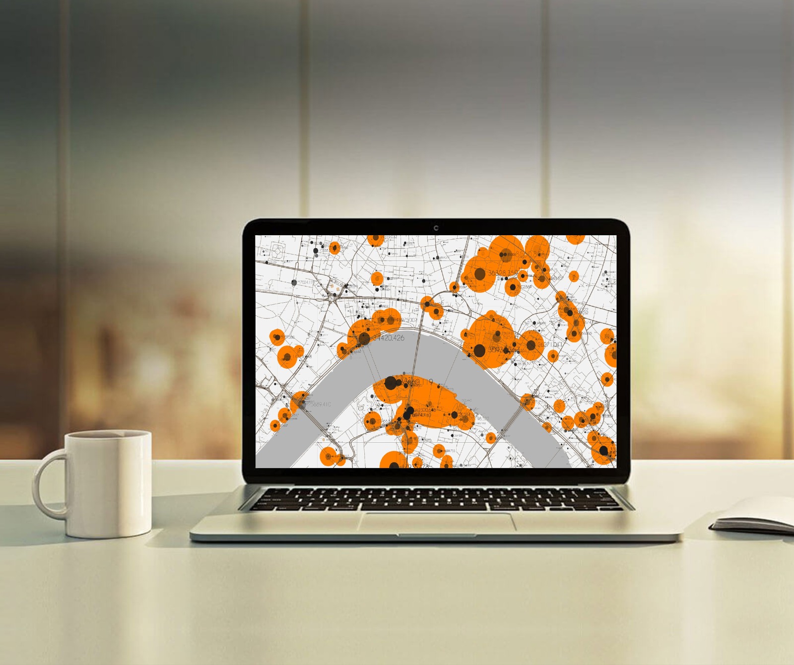
--Geo mapping uses geographic data and imagery tools to map your supply chain network and identify merchant locations, routes, and distribution channels. By seeing your supply chain on a map, you can gain valuable information about geographic trends, market demand, and operational efficiency.
